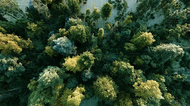
Fungal communities form a major component of Earth’s biodiversity, yet most of their activity is invisible — occurring below ground, outside the reach of conventional monitoring systems. These organisms influence nutrient cycling, plant health, soil structure, and carbon storage across ecosystems at a scale that remains poorly mapped.
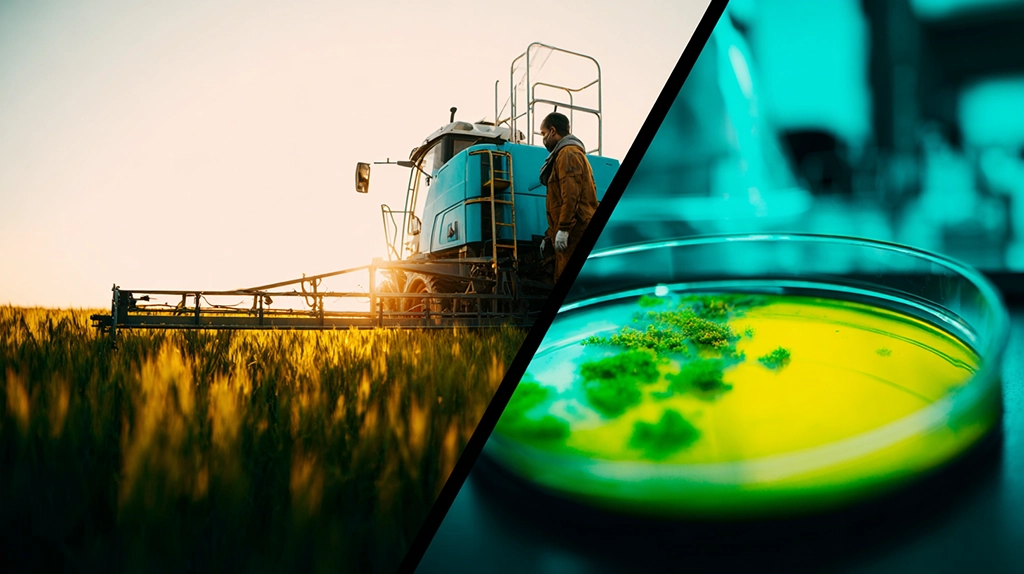
Traditional methods for studying fungal biodiversity depend on field sampling, DNA extraction, and geographic surveys — approaches that are accurate but resource-intensive and limited in spatial reach. The practical result is that large-scale fungal monitoring has been constrained by logistics. Much of the underground fungal world is effectively unmeasured at ecologically meaningful resolution.

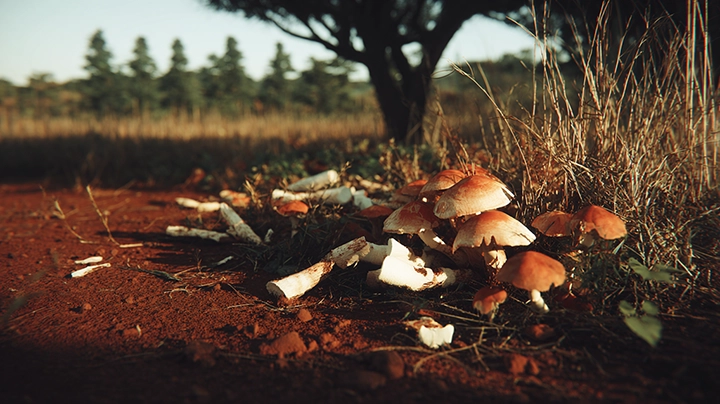
Forest ecosystems are structured in layers, from canopy to forest floor. It is in that deepest layer — beneath the leaf litter and decomposing material — where ectomycorrhizal fungal networks operate, largely invisible to conventional monitoring.Credit:
Forest vegetation, via Wikimedia Commons, CC BY 4.0A new study proposes a way to change that. The research demonstrates that fungal biodiversity can be estimated indirectly — by training artificial intelligence to recognize the relationships between satellite-derived environmental signals and measured fungal richness on the ground. The approach does not detect fungi directly. It learns what fungal diversity tends to look like from above, and applies that knowledge across landscapes where no sampling has occurred.
Ectomycorrhizal Fungi as the Target System
The study concentrates on ectomycorrhizal fungi — organisms that form symbiotic relationships with tree roots and play central roles in forest ecosystem function. These fungi regulate nutrient uptake, mediate carbon exchange between plants and soil, and influence the stability of forest systems at landscape scale.

Laccaria bicolor — the Bicoloured Deceiver — is one of the best-studied ectomycorrhizal fungi, forming symbiotic partnerships with tree roots across temperate forests. Its distribution is among the biodiversity signals the satellite AI model learns to associate with surface environmental patterns.Credit:
Annie Weissman / iNaturalist, via Wikimedia Commons, CC BY 4.0Because ectomycorrhizal fungi are closely coupled to vegetation, their distribution partially reflects observable landscape conditions. Forest structure, tree species composition, habitat variation, and canopy properties all correlate with the types of fungal communities present in the soil below. This ecological coupling makes ectomycorrhizal fungi more tractable for remote sensing analysis than fungal groups with weaker aboveground signatures.
The approach is system-specific. It works most effectively for fungi whose ecological distribution is meaningfully tied to environmental patterns that satellites can detect. Generalizing the method to other fungal guilds — saprotrophs, pathogens, or soil-generalist communities — would require separate validation.
Training AI on Landscape-Scale Ecological Data
Researchers combined approximately 12,000 field observations collected across Europe and Asia with self-supervised machine learning techniques. Self-supervised learning allows the model to identify structure in satellite imagery without requiring manual labels for every environmental feature — a critical advantage when working with large geographic datasets.
Satellite data provided signals related to vegetation structure, habitat heterogeneity, and landscape composition. These signals were correlated with measured fungal richness from the field observations, enabling the model to learn which environmental configurations tend to support higher or lower fungal diversity.
The scale of the training dataset matters. With 12,000 observations spanning two continents, the model captures variation across a wide range of ecosystem types — boreal and temperate forests, managed and unmanaged land, areas with documented long-term ecological change.
Satellite Signals Explain More Than Half of Fungal Richness Variation

Credit Jacques Descloitres, MODIS Land Rapid Response Team, NASA/GSFC / Public Domain
The results show that satellite-derived features explain more than 50 percent of the variation in ectomycorrhizal fungal richness across the study regions. In several comparisons, these features outperformed conventional environmental variables — including climate data and soil measurements — in predicting observed fungal diversity.
That result warrants careful interpretation. Satellite imagery does not capture fungi directly. What it captures are the surface and vegetation conditions that correlate with fungal communities below ground. The model’s predictive power reflects the strength of those ecological relationships, not direct observation.
The implication is that remote sensing data contains latent biological information — signals that conventional analysis has not fully utilized. Artificial intelligence extracts those signals and links them to biodiversity patterns that would otherwise require extensive physical sampling to characterize.
A Tenfold Improvement in Spatial Resolution
One of the study’s most operationally significant contributions is spatial resolution. Traditional fungal biodiversity maps operate at kilometer scale. The satellite-AI approach produces predictions at approximately 10-meter resolution — a roughly hundredfold improvement in spatial granularity.
At 10-meter resolution, it becomes possible to distinguish habitat variation within a single forest stand, track how fungal richness changes along environmental gradients, and identify localized patterns that disappear entirely at coarser scales. For conservation planning, habitat assessment, and ecological monitoring, this resolution shift has meaningful practical consequences.
The method’s predictive accuracy remains partial. A significant proportion of variation in fungal richness is not explained by the satellite features in the current model. That unexplained variance reflects real biological complexity — including species interactions, soil microstructure, and disturbance history — that satellite imagery cannot yet capture. The tool enhances resolution and scale; it does not replace direct measurement.
Continuous Observation Enables Long-Term Monitoring
Satellite systems collect environmental data continuously, creating a record that can be revisited and compared across time periods. This temporal depth enables long-term ecological monitoring without repeated physical sampling campaigns.
The study demonstrates this capability through analysis of woodland ecosystems in the United Kingdom. Patterns in the satellite data suggest possible declines in ectomycorrhizal fungal richness in certain areas over time — trends that would be difficult to detect and quantify through conventional means. Whether those patterns reflect genuine biological change, land-use pressure, or methodological artifacts requires further validation, but the monitoring framework itself represents a meaningful advance.
For biodiversity assessment under climate change, the ability to track underground ecological change through satellite signals — continuously, at scale, without repeated soil campaigns — addresses a longstanding limitation of fungal monitoring infrastructure.
Ecology and Machine Learning as Complementary Systems

Credit Bernard Spragg. NZ / CC0 1.0 Public Domain
This research represents a convergence between ecological field science and computational pattern recognition. Traditional biodiversity research produces ground-truth measurements with high accuracy but limited geographic scope. Machine learning applied to satellite data produces broad spatial coverage with moderate predictive accuracy.
The combination is more useful than either approach alone. Field data trains and validates the model; the model extends insights across regions where field data is absent. As satellite sensors improve in spectral and spatial resolution, and as machine learning architectures become more capable of learning complex ecological relationships, the predictive accuracy of this approach is likely to increase.
For fungal ecology specifically, this opens a practical path toward biodiversity monitoring at the planetary scale — a system capable of tracking how underground fungal communities respond to climate change, land-use shifts, and forest management decisions across entire continents.
Hidden ecosystems can become observable through their environmental interactions. This study demonstrates one mechanism by which that transition is already underway.
FAQ: AI, Satellites, and Fungal Biodiversity Monitoring
Can satellites directly detect underground fungi?
No. Satellites observe surface and vegetation conditions — not soil organisms. The AI model infers fungal biodiversity from statistical relationships between environmental signals visible from space and fungal diversity measured at ground level.
What does the model actually predict?
It predicts patterns of ectomycorrhizal fungal richness — the number of different fungal species likely present — based on correlations between satellite-derived environmental features and field-measured biodiversity data.
Is this accurate enough to replace field sampling?
No. The current model explains more than half of the variation in fungal richness, but a significant proportion remains unexplained. The approach is best understood as a complement to direct sampling, not a substitute for it.
Why focus specifically on ectomycorrhizal fungi?
Ectomycorrhizal fungi are ecologically coupled to vegetation in ways that produce detectable surface signatures. This makes their distribution more predictable from satellite imagery than fungal groups with weaker connections to observable landscape patterns.
Can this method track changes in fungal biodiversity over time?
Yes. Continuous satellite data collection creates a temporal record that allows researchers to compare conditions across time periods and identify potential trends in fungal richness without repeated physical sampling campaigns.